Horseshoe Mountain
Mosquito Range
13,898 ft
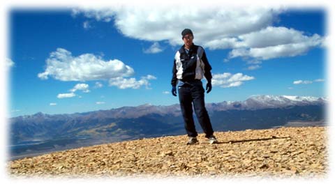
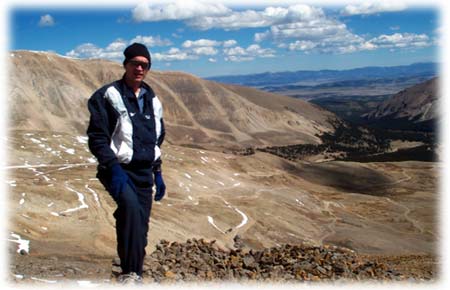
I left S. Korea last week to run the AF Marathon in Dayton, Ohio on Sep 21st. Stopping in Colorado for a few days on my way back I took a day to climb a high thirteener, Horseshoe Mountain, ranked 72nd highest mountain in Colorado.
Horseshoe Mountain is near the town of Fairplay, in the Mosquito Range. About 150 yards south of the intersection of Highways 9 and 285, I turned west on Park County Road 18. At mile 11.4 I made a left turn off the main road and switch-backed up past some summer homes, taking care to stay on the main road. Just past the last cabin I found a parking spot for my rental car.
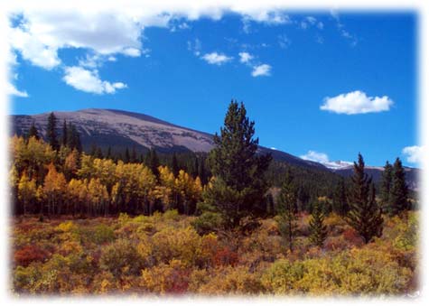
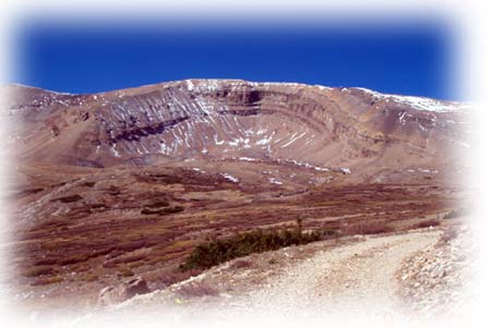
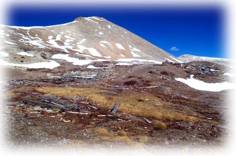
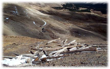
The road continues up Horseshoe Gulch and Horseshoe Mountain with its characteristic cirque was prominent. The aspens were in full fall splendor-almost too bright yellow. The day was bright, clear, and glorious. What a day to be hiking in this grand state.
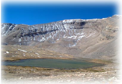
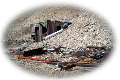
Nearing the base of the mountain I came on the first of what would prove to be several mining ruins. Off the road I picked up a few "artifacts", rusting tin cans from the old mining days, leaving a pile for my return. Out of the corner of my eye I spotted wily coyote loping along about fifty yards to my left. Quickly taking out my camera I followed to where he had disappeared over a knoll. Wily coyote was long gone by that time. A sparkling alpine lake came into view.
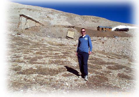
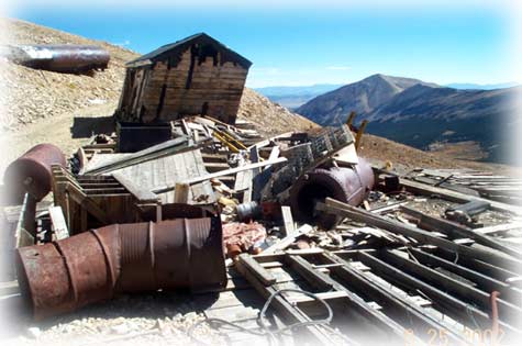
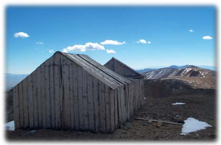
Not far up the road there was another mining ruin, consisting of an intact building and other mining structures-also a considerable amount of trash. The miners were not into "leave no trace". Still, it is interesting to see the remains of a bygone era-almost like seeing the ruins of castles in Germany
Just below the saddle between Peerless and Horseshoe Mountains, the old Peerless Mine ruins fade slowly into oblivion. From the saddle at 13,180 feet it is an easy stroll to Horseshoe's summit. One more mining ruin at 13,500 along the way.
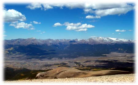
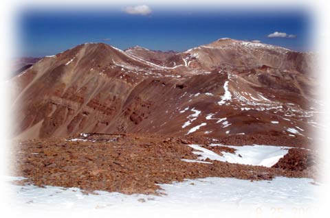
The view on this crystal clear fall day extended to Pikes Peak in the east, the Sangre de Christos to the south, Sherman, Dyer, and Gemini Peaks to the North, and the impressive Sawatch Range to the west, prominently featuring Mounts Massive and Elbert, La Plata, Huron, and others.
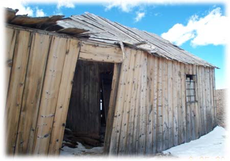
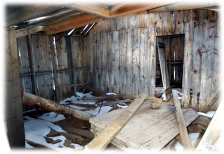
I hiked on down the south side for 300 yards to check out the old summit mine ruins-an old building still stands--defiant against the elements.
I made a leisurely descent back to my car, stopping to fill my pack with old rusty tin cans near the lower mine ruins. If 15% of hikers took out a few tin cans with every trip together we can clean up the legacy of the bad old days.
Copyright © 2002 - Steve Bremner
All Rights Reserved