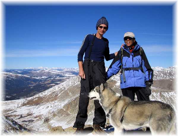
Dyer
Mountain, elevation 13,855'
November 7th, 2004
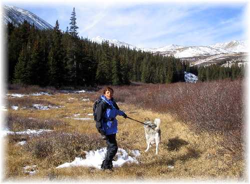
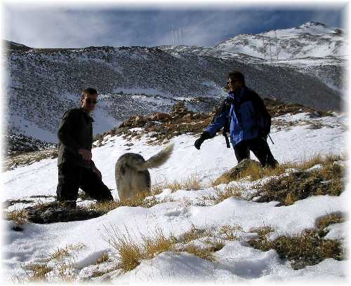
Steve Bremner, Rebekka Hannula, & Sam the Wolfdog
Dyer Mountain is a "high 13er", meaning it is one of the 100 highest peaks in Colorado. Near Fairplay, it lies in the vicinity of more well-known peaks: the 14ers, Democrat, Lincoln and Bross.
Rebekka, Sam and I had attempted this peak already once this Spring. Unfortunately, on that occasion Sam the Wolfdog decided he wanted to freelance. We had only made it about a mile or so when, while crossing a stream, I let go of Sam's leash. He took off in search of who-knows-what and we were forced to wait for him. An hour went by--no Sam. Eventually we turned around, retraced our steps to the car, only to find a repentant Sam waiting for us. Trip aborted.
This time we held tight to Sam's leash....
There is no trail for this route on Dyer. We drove to the end of Park County 14, just north of Fairplay and parked at the Sacremento Creek Trailhead. In the Spring we had made the mistake of going into the woods to the left of the creek, only to encounter deep snow. This time we stayed low and close to the creek, taking care to avoid the willows where possible.
Where in the Fall we had continued to stay left of Sacramento Creek and struggled until the point we finally lost Sam, this time we crossed the creek after a mile or so and continued along sun-drenched terrain free of snow.
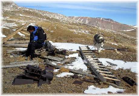
At the base of the steep climb to the saddle we encountered some debris and the remains of buildings left from the mining days. I removed some nails that were poking out from weathered boards. With more snow they would be covered and present an unwelcome poke through the boot to some unsuspecting climber. Could very well ruin someone's day.
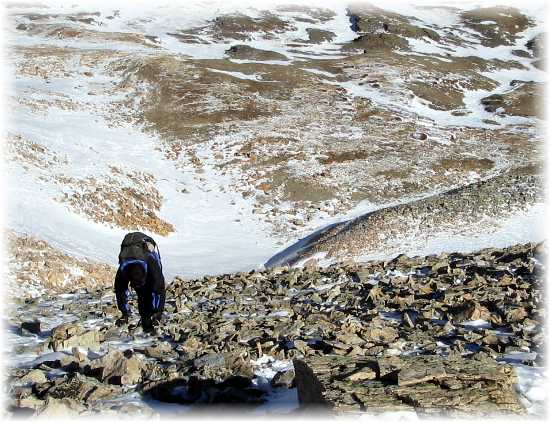
The climb to the saddle was steep and mostly on scree. The summit was remarkable pleasant, with next to no wind, so we relaxed and enjoyed the view for half an hour before retracing our steps.