The next morning Sam the Wolfdog and I were up and on the trail by 4:30 A.M, traveling light with just a hip pack, I ran the lower road in the moonlight.

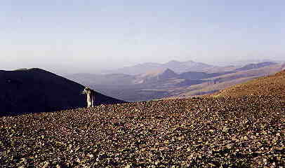
| September 5th, 1998 I drove to the Mosquito Range of Central Colorado
to knock out at least three 14ers. From the town of Alma on Hiway 9 I headed
west on Forest Road 416 in the direction of Kite Lake--setting up my camp
site a couple of miles below Kite Lake that afternoon on Buckskin Creek.
At right is the view of the creek with Mt Democrat to the left.
The next morning Sam the Wolfdog and I were up and on the trail by 4:30 A.M, traveling light with just a hip pack, I ran the lower road in the moonlight. |
|
 |
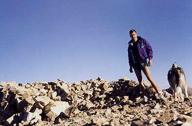
Climbing Mt Democrat only took an hour and a half, so
I was on top by 6 A.M. It was still dark.
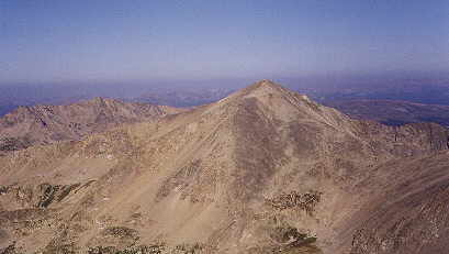
Some scattered lumber remains of a mining structure were in the saddle to the right of the summit. I continued along the saddle towards Lincoln as the sun rose in the East. The shot at left is of Mt Democrat from Mt Bross. |
| With quite an expanse of high country trail between Democrat and Bross I ran much of the way. The final approach to Lincoln's summit was a steep cairned route through boulders. |
 |
 |
 |
|
|
|
 |
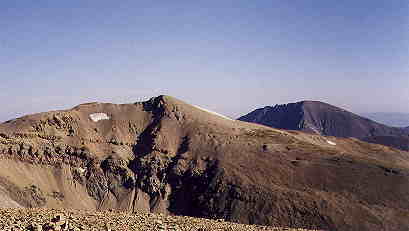
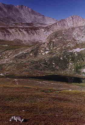
The summit of Bross is huge. It resembles some kind of lunar landscape. |
|
|
| One of the largest cairns I've ever seen marked the summit. (This picture doesn't do justice to it.) It is noticeable from a long ways away. |
 |
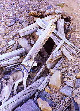 |
On the way down the mountain we saw several of these abandoned mine shafts. |
|
|
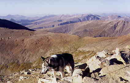
| We dropped directly down through loose talus slopes in the direction
of Kite Lake. Not a very pleasant experience for Sam--or for me.
Back to the camp site by 10:00 A.M., we were driving down the road shortly thereafter. Plenty of time to do another fourteener before going home! |
 |
 |
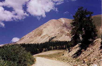
Just south of Fairplay we made a left off 285 onto 18 road--which later becomes 421, parking in the area next to the old ghost town of Leavick. The road continued a couple miles further, but to technically get credit for the "14er" the CMC requires at least a 3000' elevation gain. Fair enough--I simply ran up the road. |
|
|
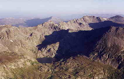
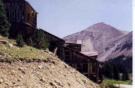
| I didn't take along my camera on this my fourth fourteener of the day.
This shot I snapped just before I headed up the road to Mt Sherman.
The trail up to the summit of Sherman--considered an easy fourteener--was crowded. Still for this list-checker it was a must-do. On the way the remains of a couple of once robust mining operations--notably the Hilltop mine, with most of the buildings still standing. |
 |