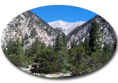
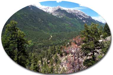
I left Colorado Springs Saturday morning with Laila and Sam the Wolfdog for the Grouse Canyon Trailhead on Mount Princeton's south side. We took county road 162 just over five miles from the US285 and US24 Junction at Johnson Village south of Buena Vista. Past Mt Princeton Hot Springs and Agnes Vaile Falls there is a road turnoff going across a bridge--shortly after that we found a 4-wheel drive road where we parked after 100 yards. The route goes to the end of the road and turns into a poorly marked tral.
My intention was to scout out a suitable descent route from Princeton, going north to south. We had a look at Agnes Vaille Falls, but given the proximity to Baldwin Gulch and the next fourteener in line, Antero, I decided that Grouse Canyon is by far the best alternative. We hiked the road from Baldwin Gulch to Antero on Sunday, which I think is the "only" feasible route at that stage in the race, when if anyone gets that far, they will not be in the mood for "thinking". A road allows one to turn off their mind, put one foot in front of the other, and "rest".
It was already 11:08 A.M.
by the time we hit the trail at Grouse Canyon Trailhead and quite warm. The
4-wheel drive road turns into a poor trail marked by cairns that soon crosses
the creek. We followed the creek for a short ways, then lost the trail. I
interpreted Roach's instructions to mean you leave the creek right away, so
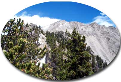
we just started up a gulley and into the steep woods east of the canyon. Climbing
steeply through mixed aspen and pine I tried to hedge a bit by traversing
north, but never could find the "well-worn" trail referred to by
Roach. We were much too far south as it turned out. Eventually we came out
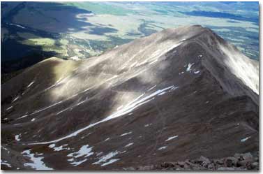
at timberline at the extreme southern portion of the ridge to 13,971. We followed
the ridge for a while, then traversed along the west side where I thought
I could spot a trail below us. When we weren't connecting with it we regained
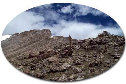
the ridge and soon found a cairn and a solitary post on the ridge placed as
a marker for what we thought was the "correct" route. Later we spied
this same post from far below on the way back and realized it was a false
indication.
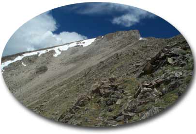
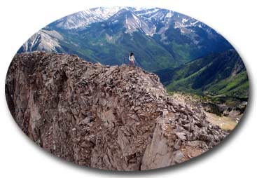
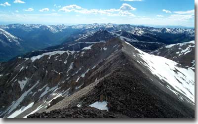
Continuing along the ridge we passed over the first two of what would prove to be an eventual six false summits on this class 3 ridge route. We traversed to the east side and on a more difficult section of hand and foot climbing regained the ridge to move to the other side. Sam balked and stayed far below on the west side looking for a better way. We left him, and I told him to wait for us. Looking towards 13,971 and Princeton's stately summit far in the distance I estimated he might be waiting a couple hours.
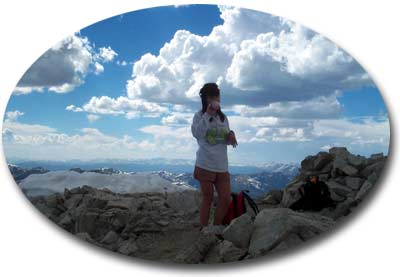
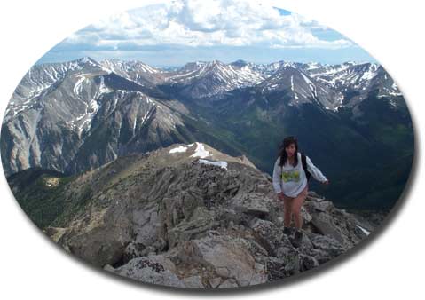
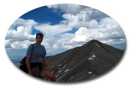
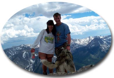
The rock was mostly rotten, so we picked our way carefully making sure of all holds, and mostly staying to the ridge proper finally found ourselves atop 13,971. As we began the descent to the low point between there and Princeton's summit, the prodigal dog appeared behind us on 13,971. He quickly went by us for a snow bank where he quenched his thirst from what was a probable prodiguous sustained effort. On to Princeton's mundane summit where we delayed just long enough for the obligatory pictures and Sam's well-earned reward of a package of beef jerky. It was now 4:30 P.M., the ascent had taken us more than five hours.
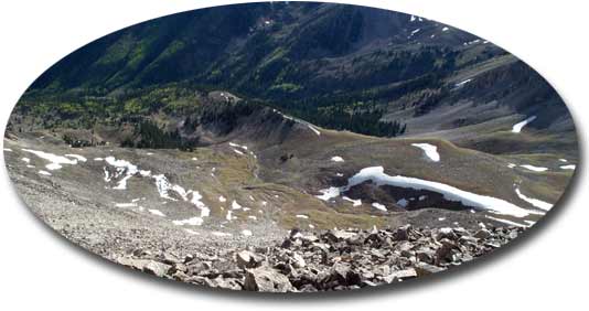
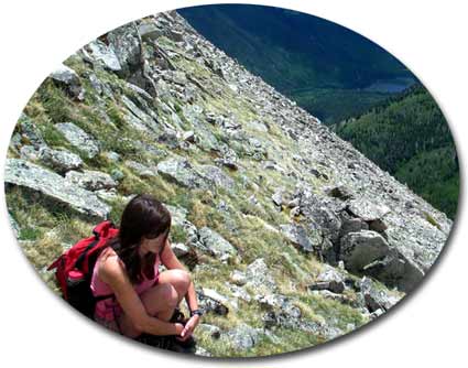
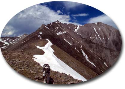
We returned to 13,971 and descended about 400 feet along the ridge. We noted the apparent descent route of Blake (which I didn't know he had done at the time--after reading posts this morning I realize now this is what he had done) and nearly tried it. I thought though that we might as well continue, because there may be a better route down. Continuing we found another descent route, but the scree was larger. I thought we should continue, but Laila was holding back. Okay, I said let's try and go down this route. Well, she wanted to go down the large blocks on the spine, which I definitely didn't cotton to. Still we were running out of daylight, so in the interests of getting down I acquiesced. A short ways along I found a chimney leading into the scree and convinced her to follow. Sam was more reluctant, but eventually with some coaxing came down as well. The larger scree was difficult to descend, and Laila who hates scree carefully (read slowly) made her way down. Finally we reached the grassy meadows above timberline at the upper reaches of Grouse Creek.
We reached my truck at 8:30 P.M. just as the lights were going out.
Sam had torn one of his pads, and Laila had blisters on the balls of both feet, so we just made a leisurely hike of Antero on the Baldwin Gulch Road on Sunday. There is very little snow left in the Southern Sawatch. I brought an ice ax up Princeton, but there was no need for it.